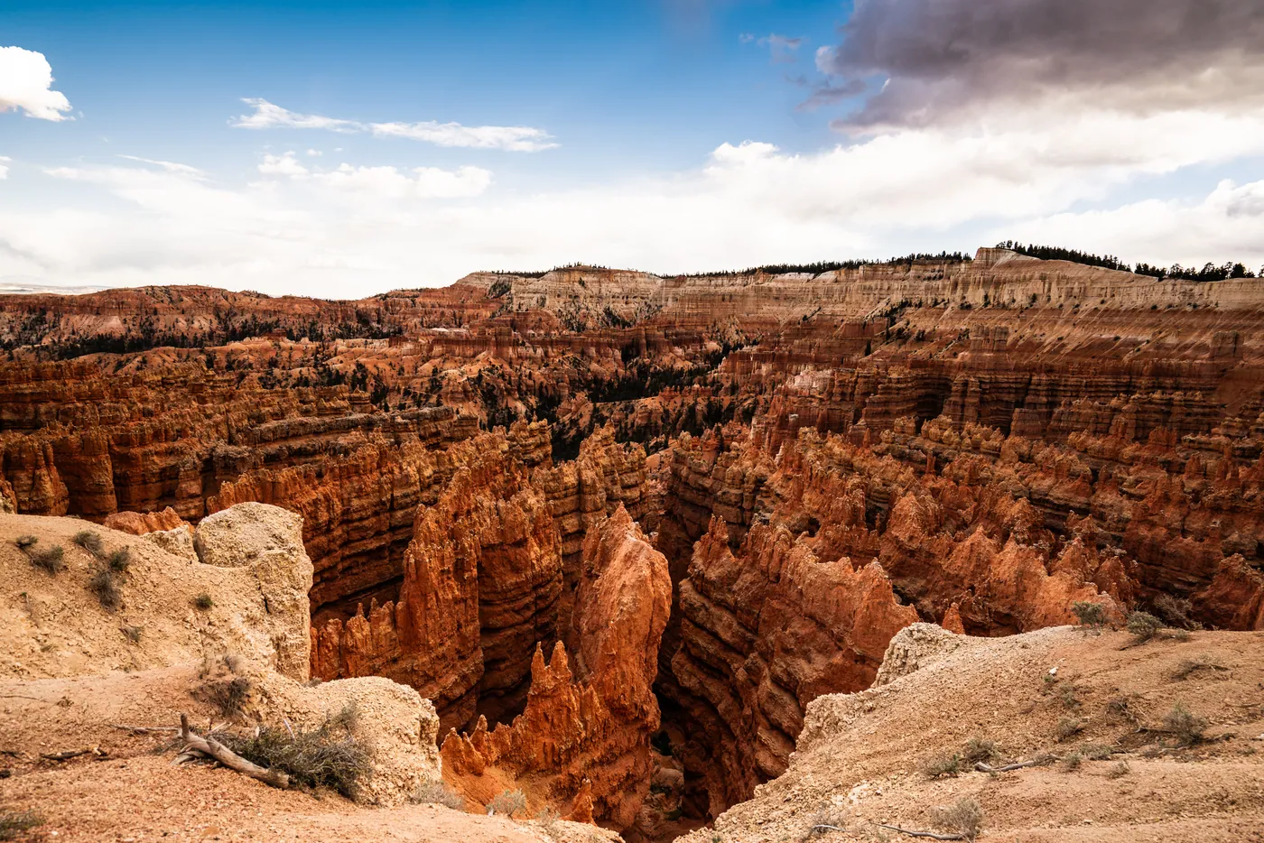
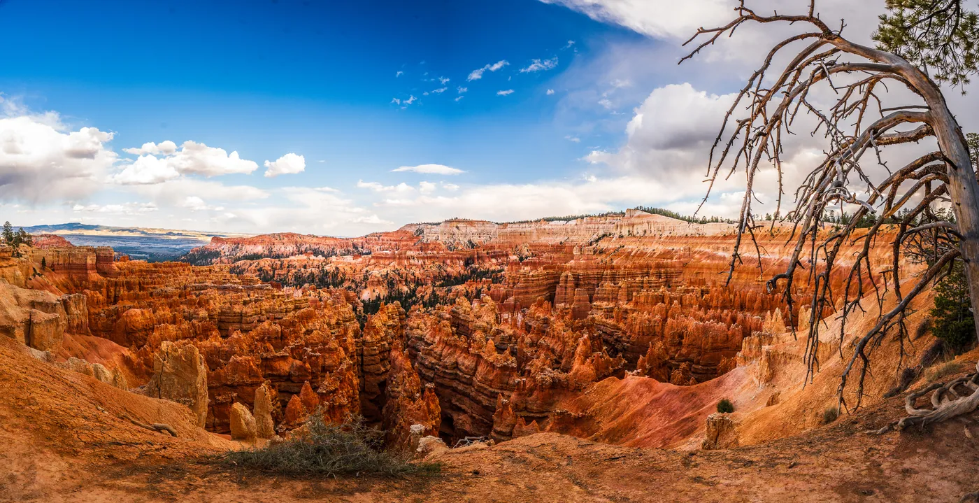
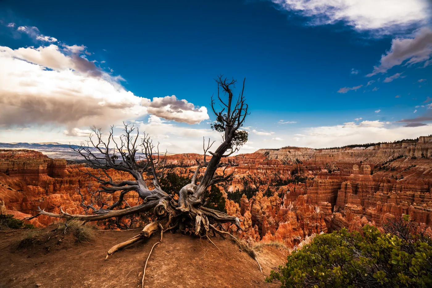
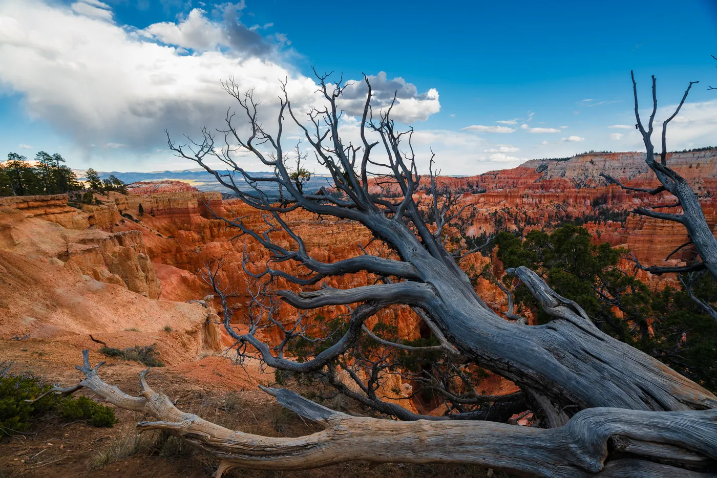
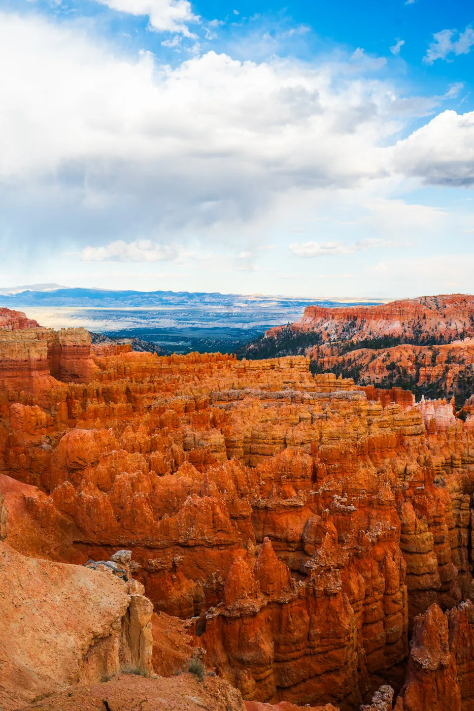
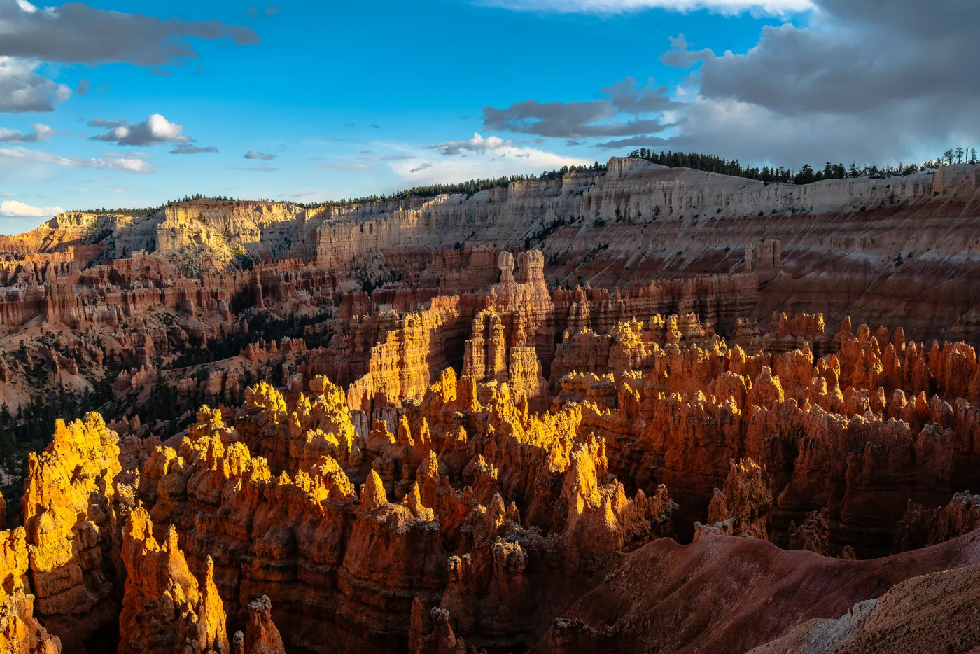
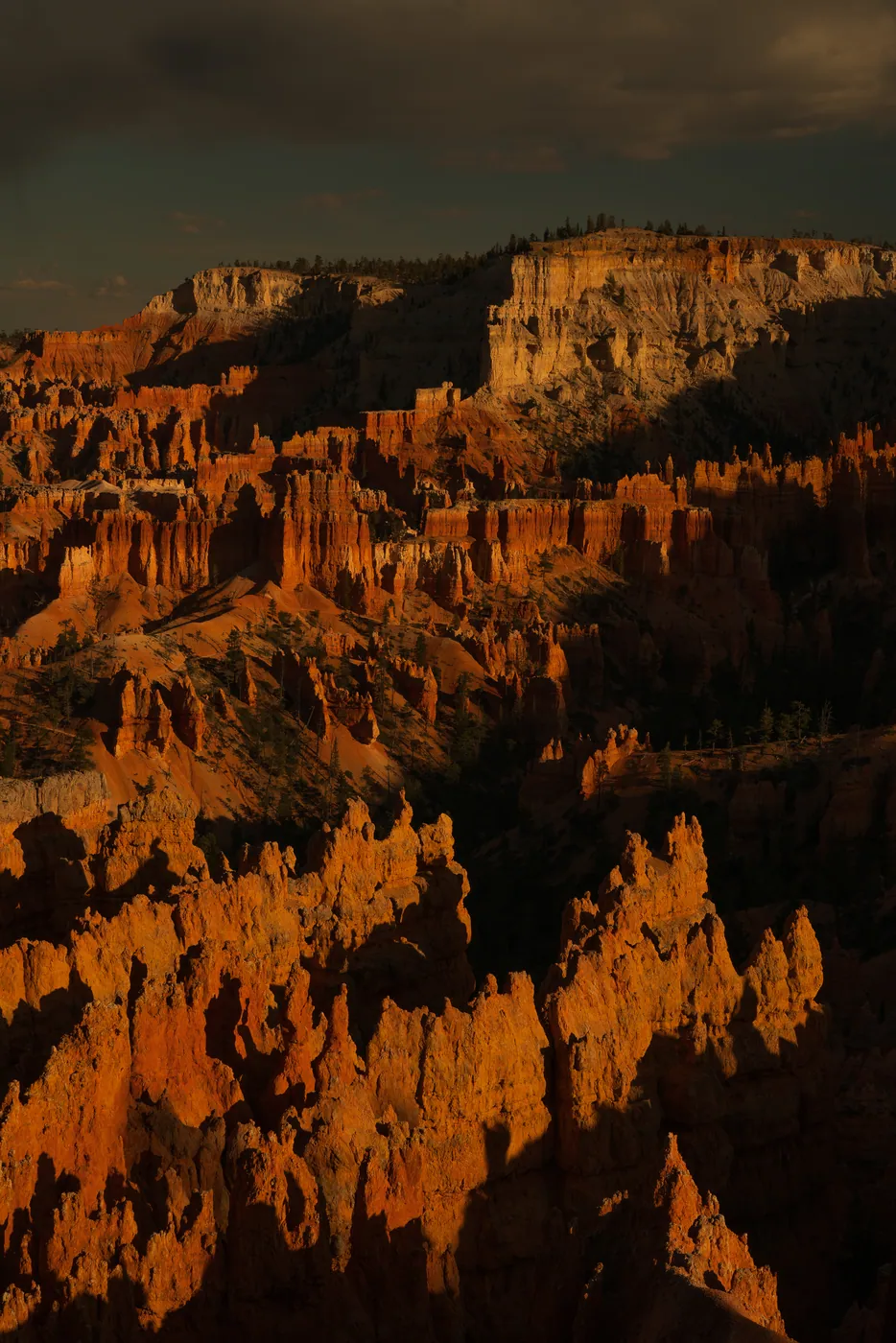
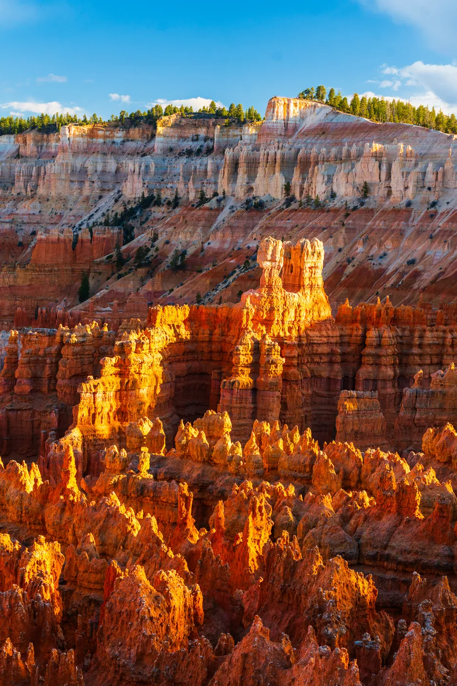
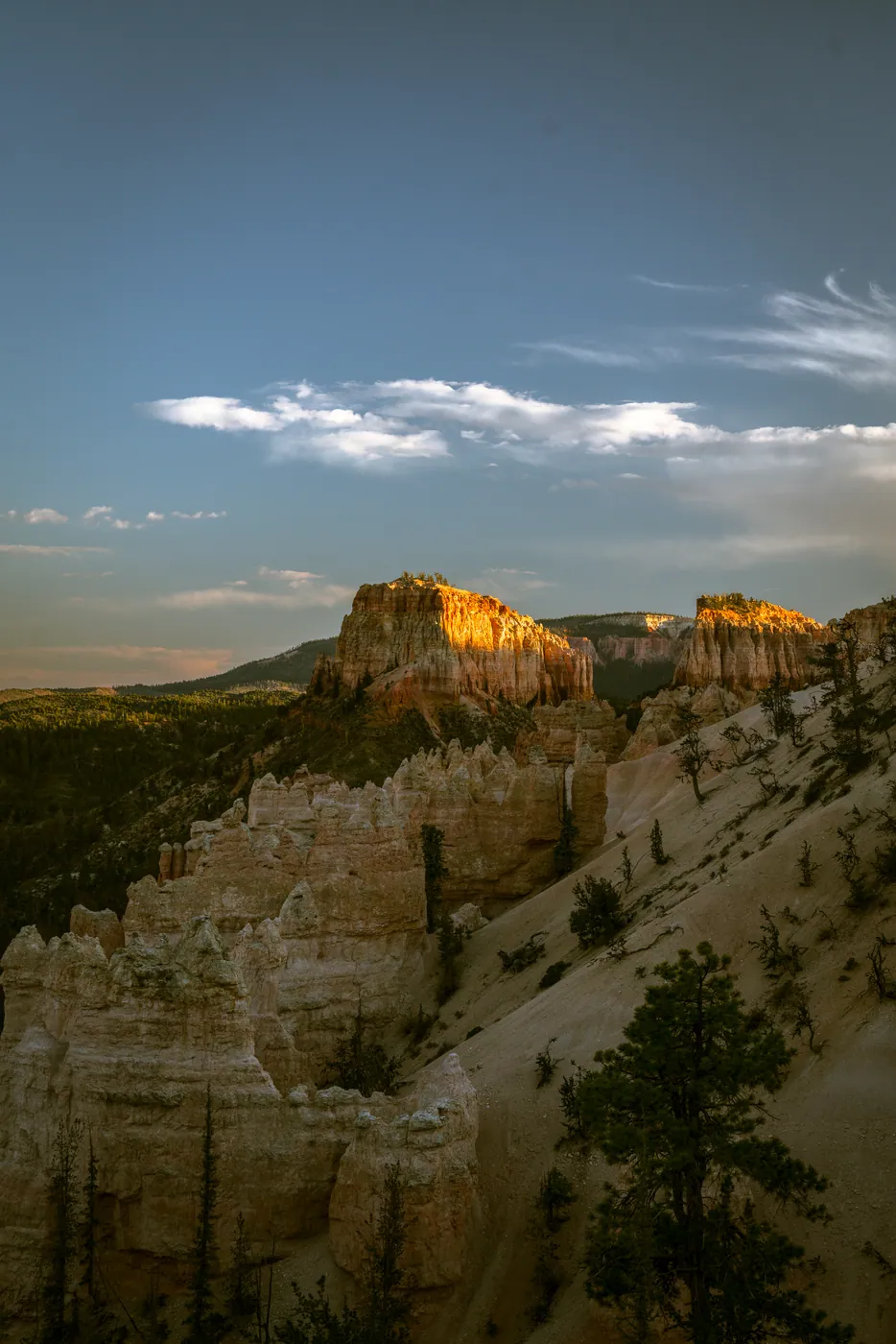
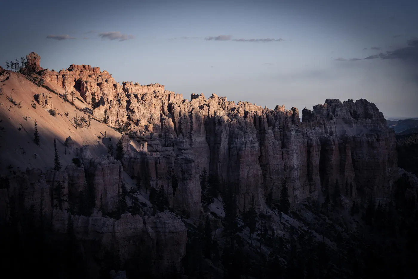
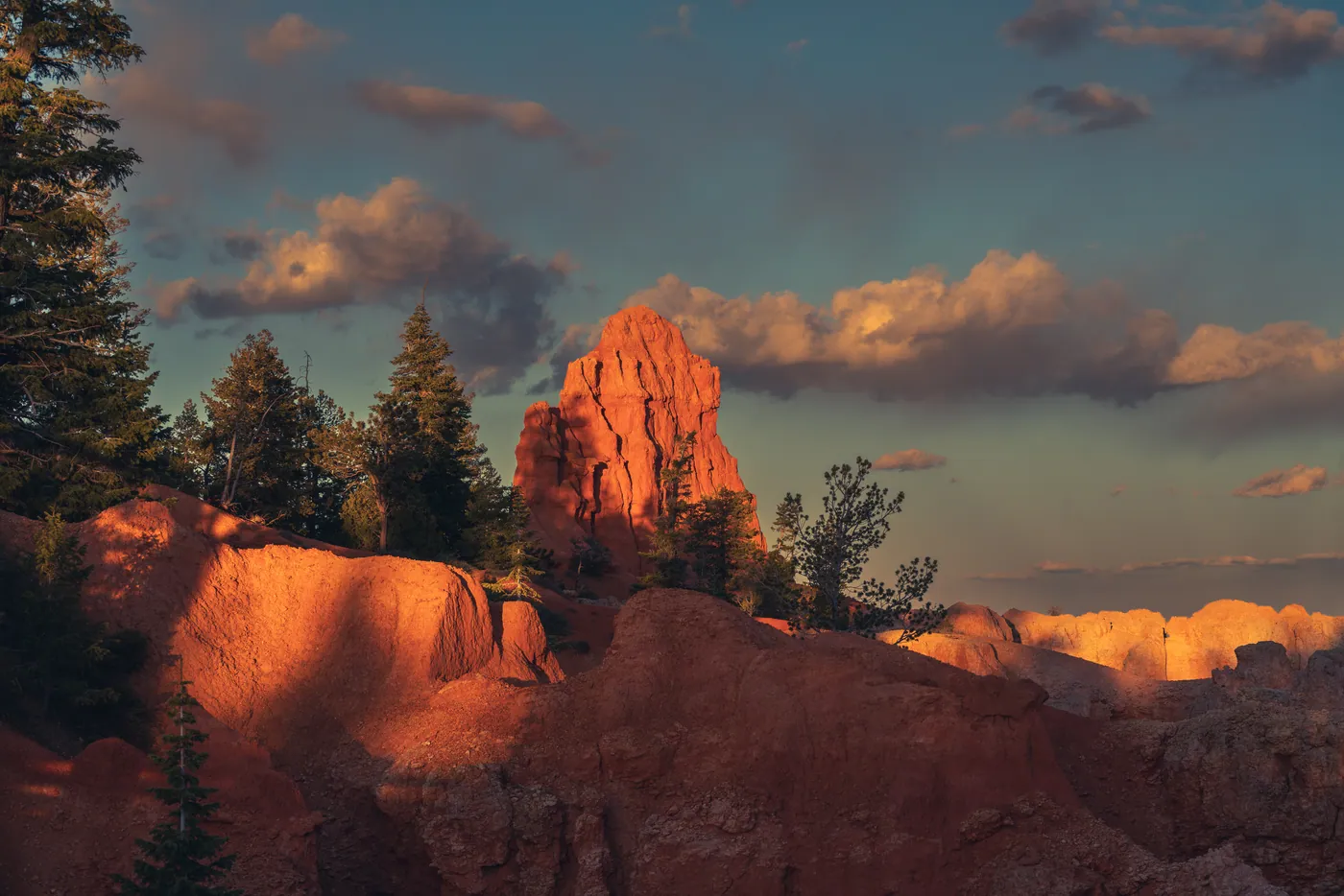
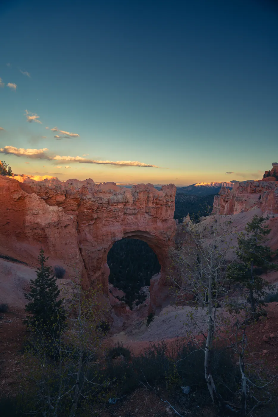
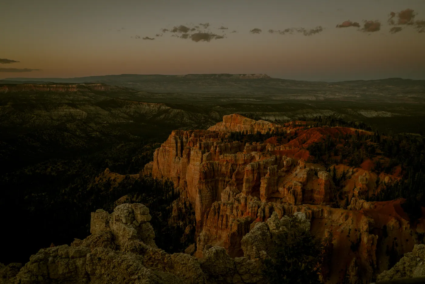
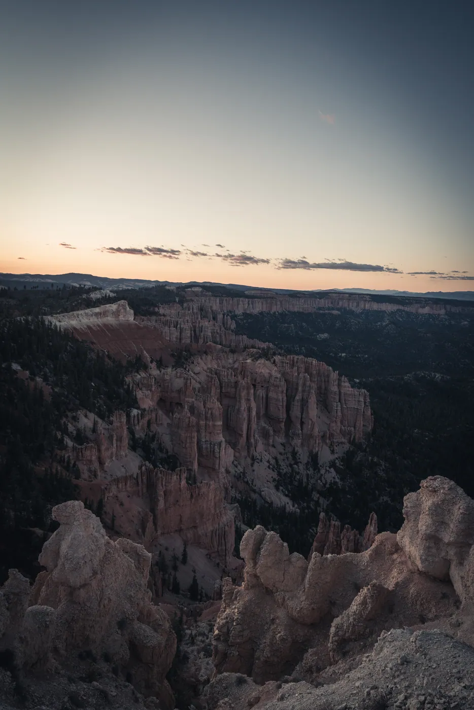
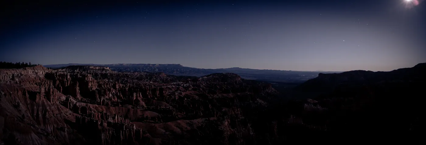
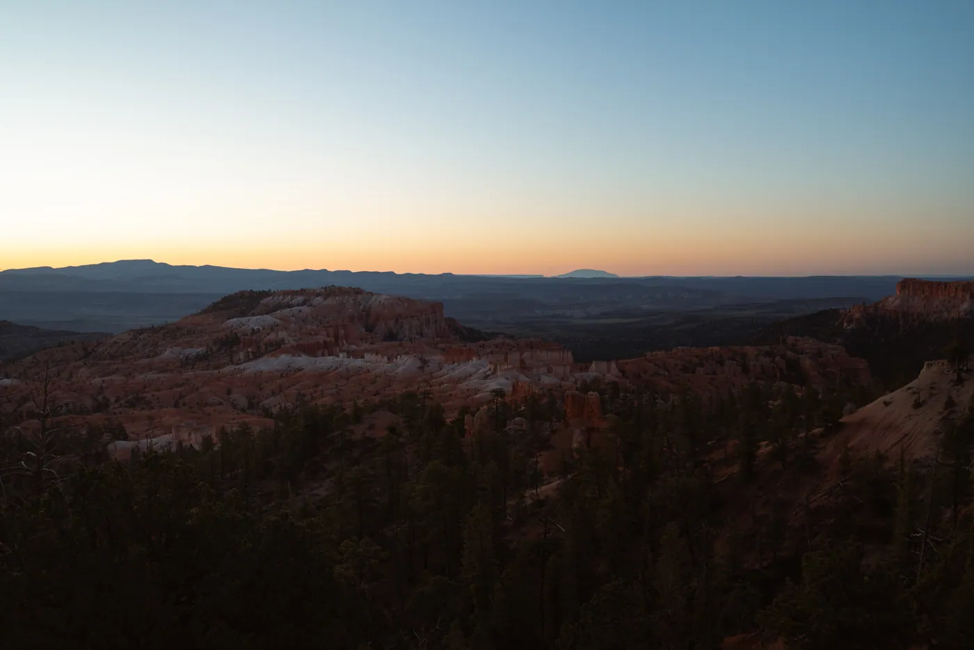
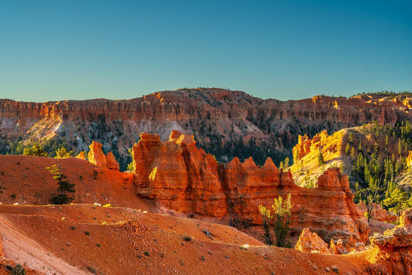
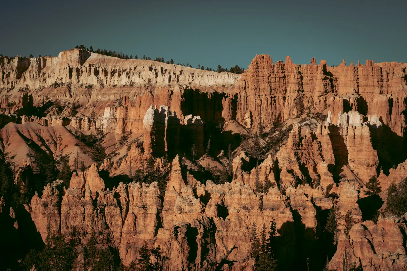
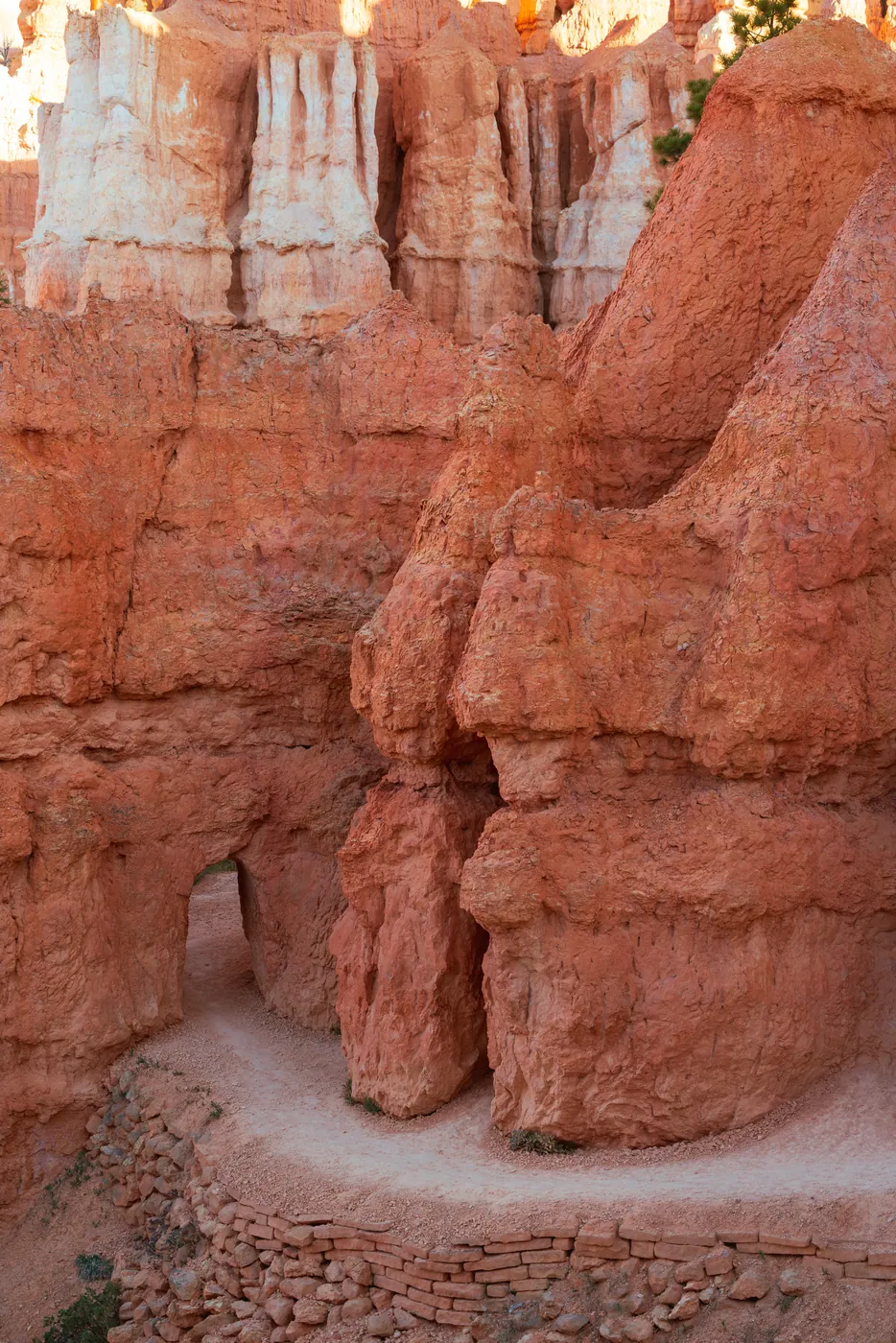
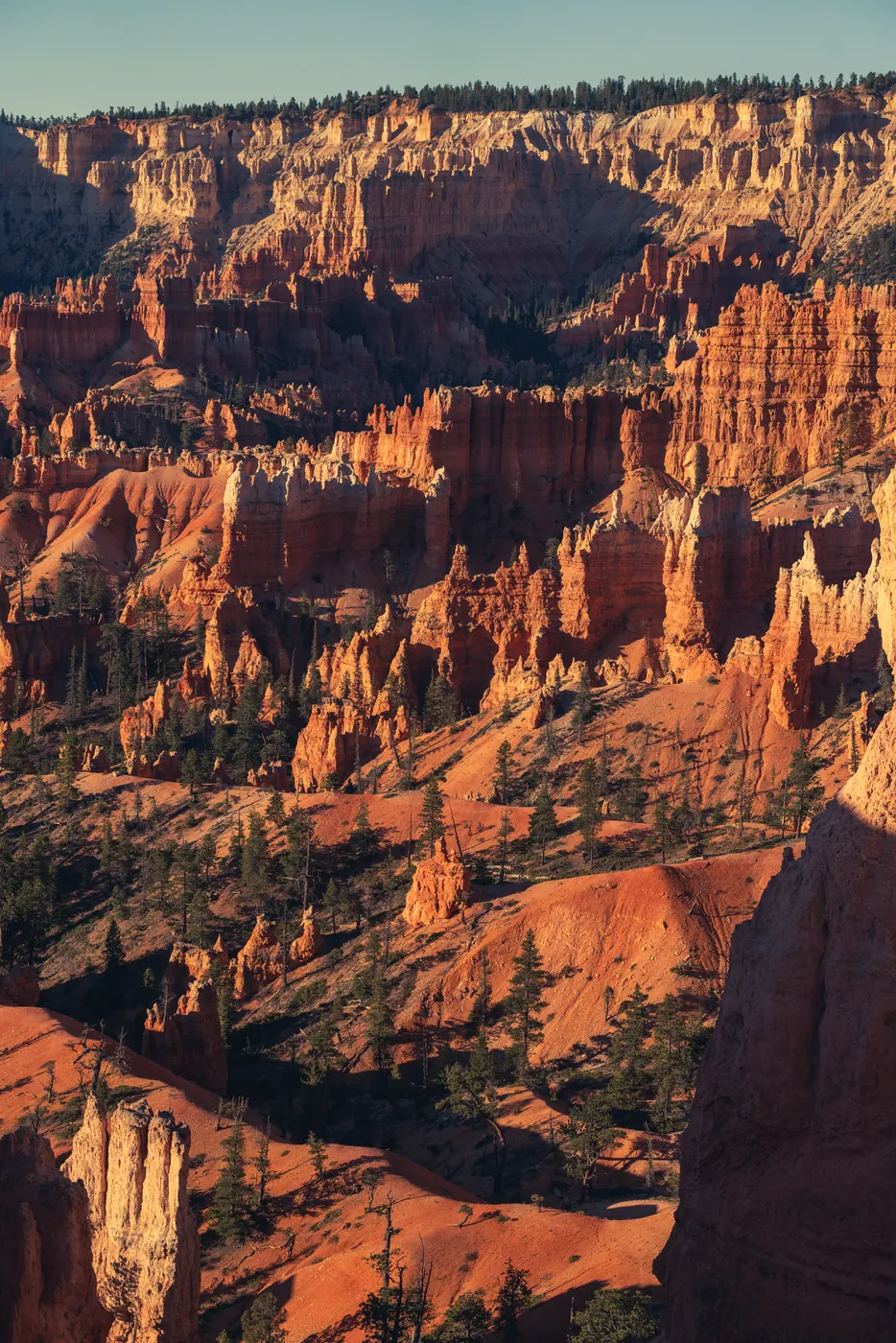
Where they were taken
10 places · 9 photographed · 19.4 mi of road and trailPlaces on the way
Road Trail Photographed Place of interestContours every 200 ft · north points leftRoutes © OpenStreetMap contributors · Elevation · AWS Terrain Tiles
The rim sits at 8,000 to 9,100 feet, so Bryce runs a full month behind the Utah parks below it and stays tolerable through a summer that flattens the rest of the state.
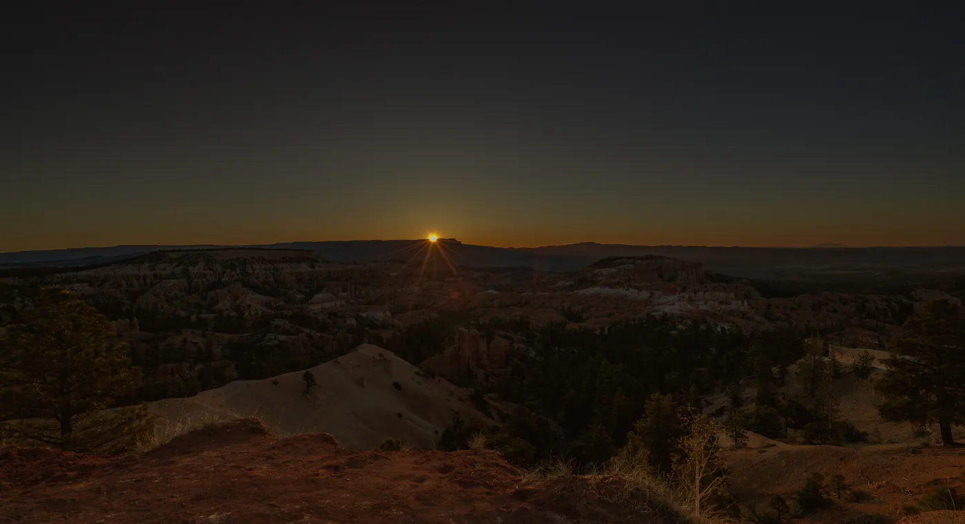
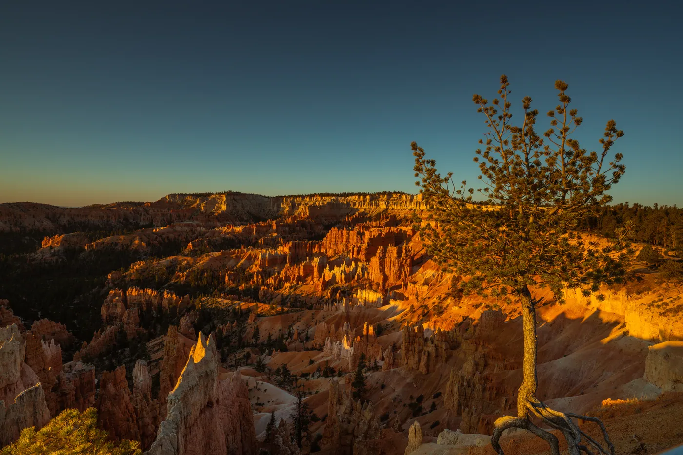
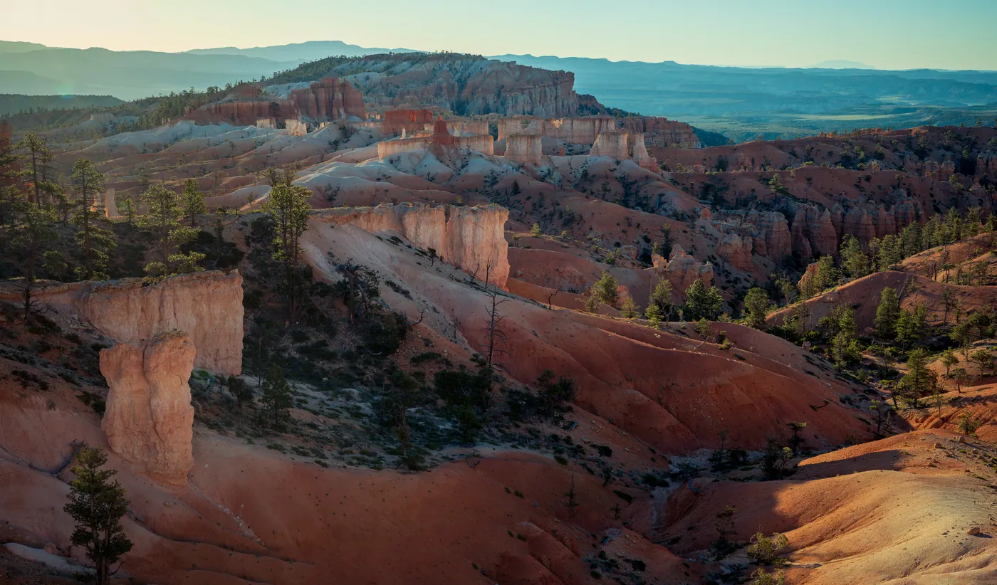
Best for photography in Jan, Oct.
Rim road is plowed all winter but spur roads past Bryce Point close after storms. Nonresident fee park. Sunrise fills fast at Bryce Point even in shoulder season.
Nothing is truly bad, but March and April are the mud-and-melt weeks when the hoodoo bases are grey slush.
12 of 24 frames on the FE 16–35mm.