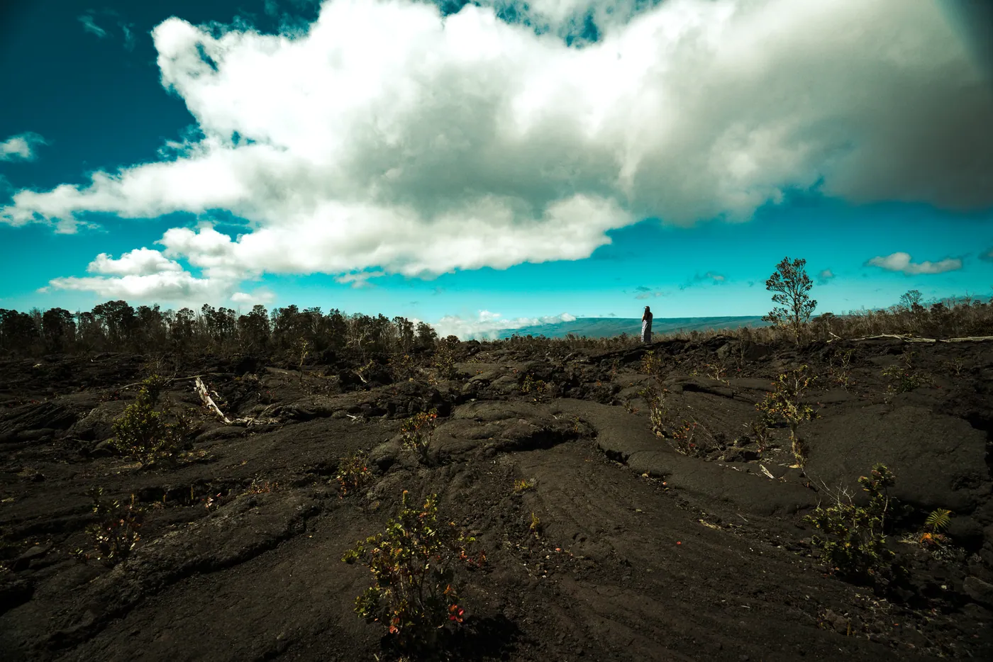
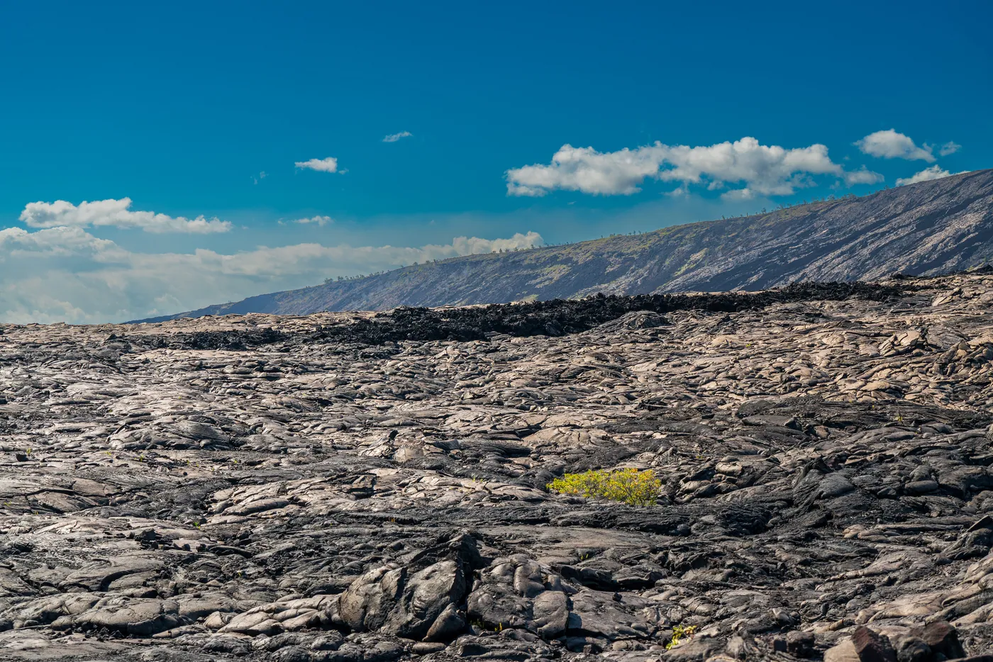
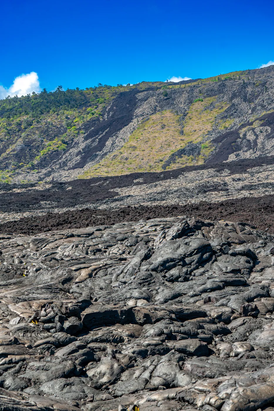
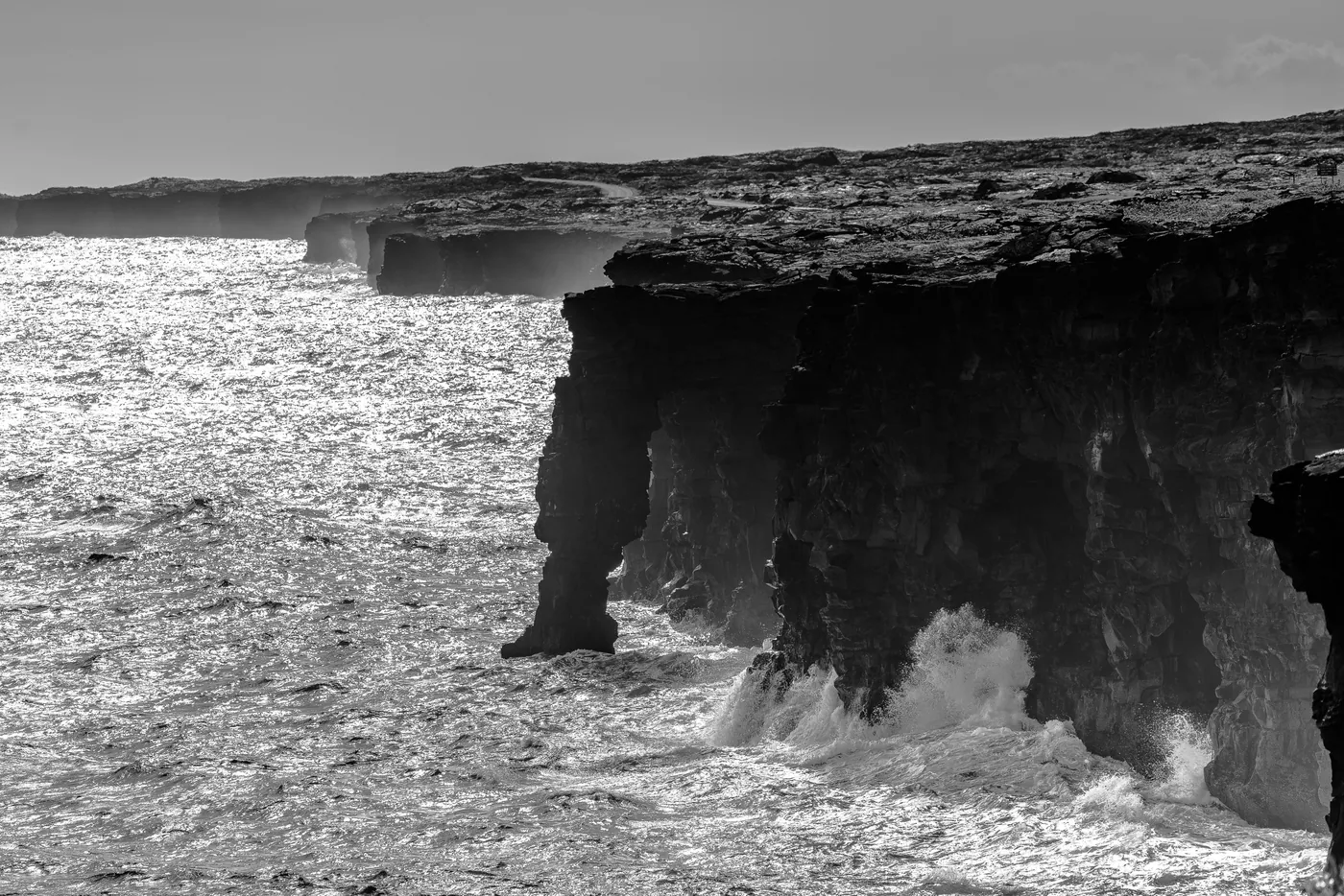
Where they were taken
7 places · 5 photographed · 24.4 mi of road and trailPlaces on the way
Road Trail Photographed Place of interestContours every 200 ftRoutes © OpenStreetMap contributors · Elevation · AWS Terrain Tiles
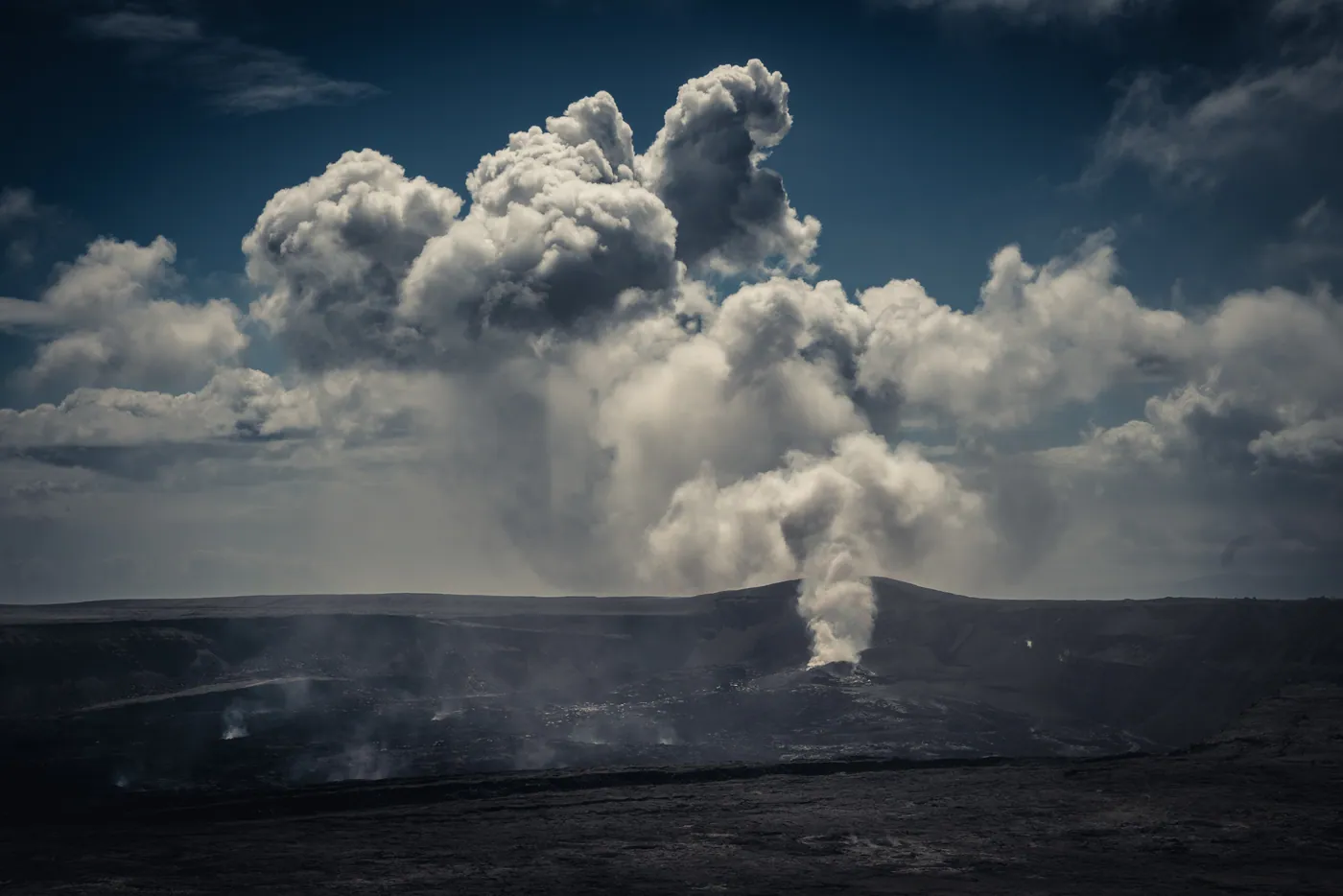
An active volcano where the headline subject may or may not exist on the day you arrive, which makes this the one park where the eruption status matters more than the month.
Best for photography in Feb – Mar.
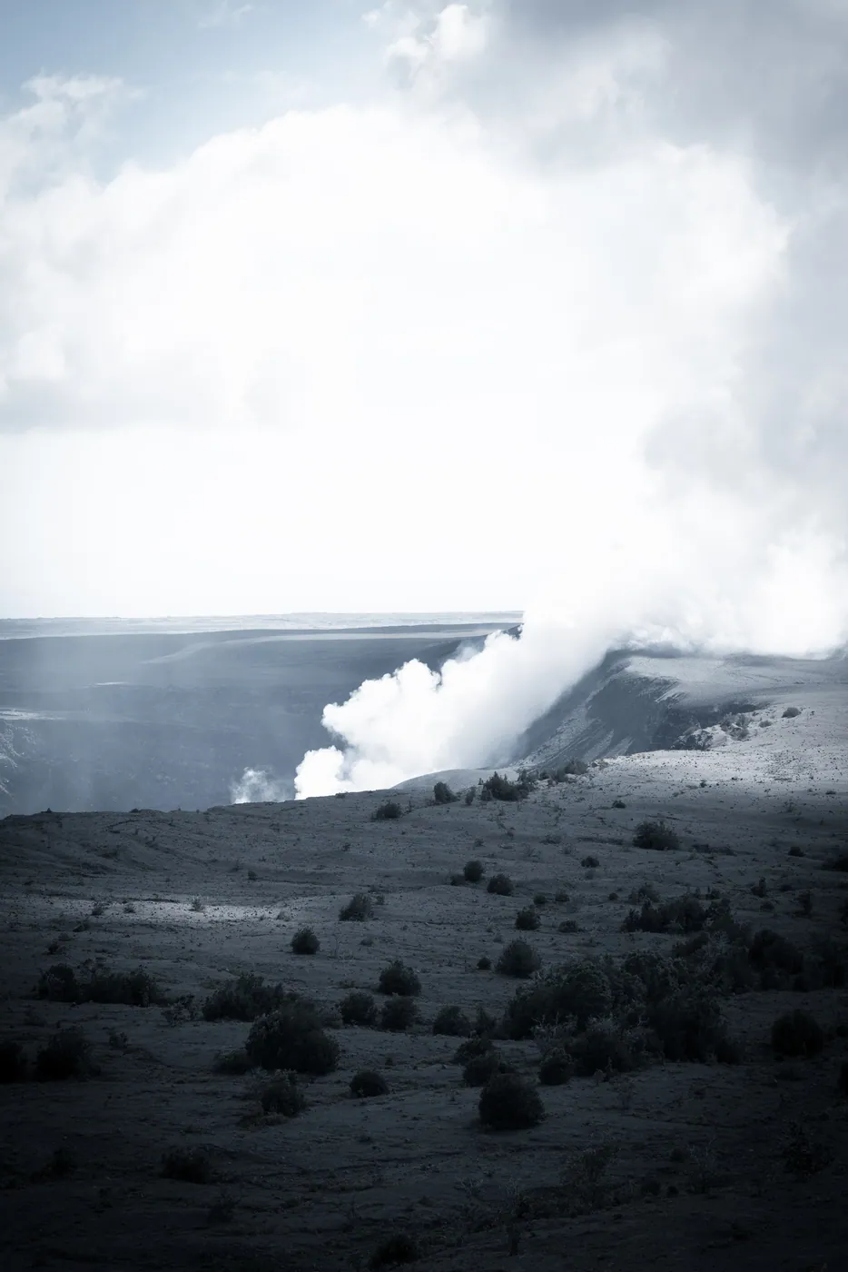
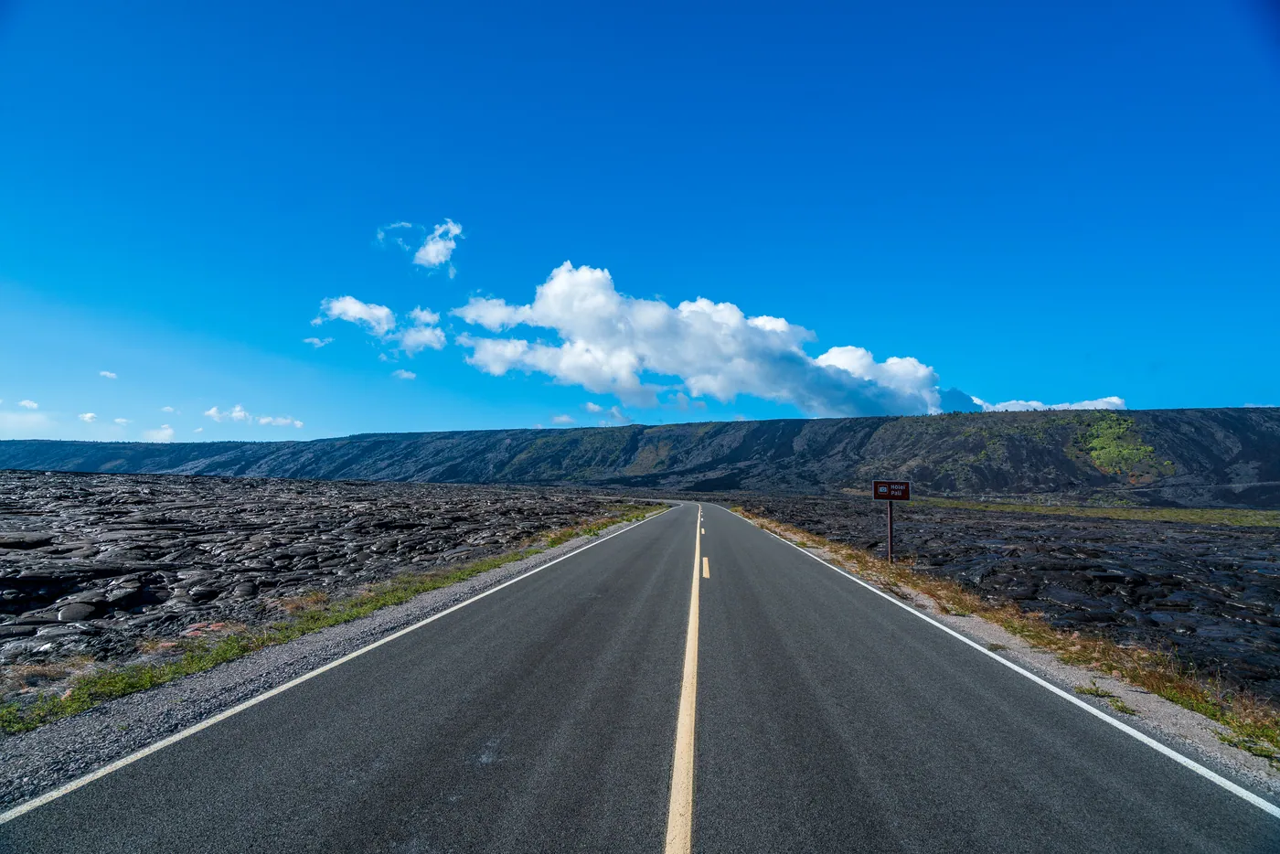
Check the USGS Hawaiian Volcano Observatory status before committing — activity is unpredictable and changes weekly. Vog and sulphur dioxide close Crater Rim sections without warning. Chain of Craters Road is nineteen miles down and the same back with no services.
No month is closed; the risk is weather cloud at the summit rather than seasonal shutdown.
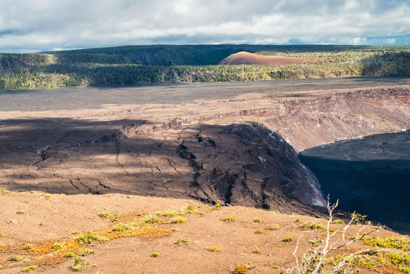
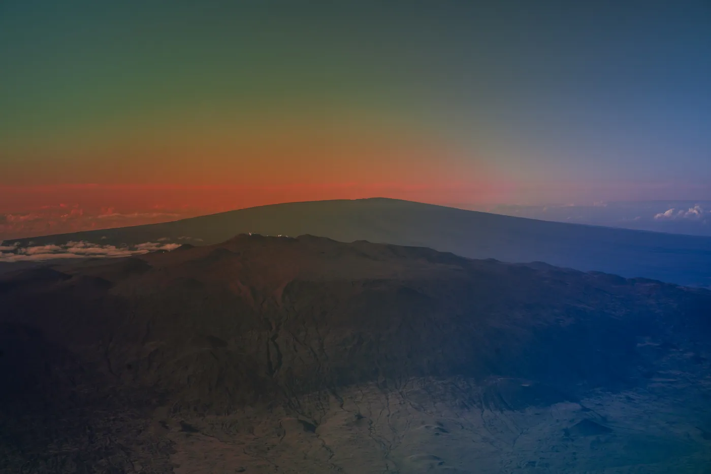
6 of 10 frames on the FE 70–200mm: long glass, compressing the landscape into layers.