Where they were taken
14 places · 12 photographed · 125.5 mi of road and trailPlaces on the way
Road Trail Photographed Place of interestContours every 200 ftRoutes © OpenStreetMap contributors · Elevation · AWS Terrain Tiles
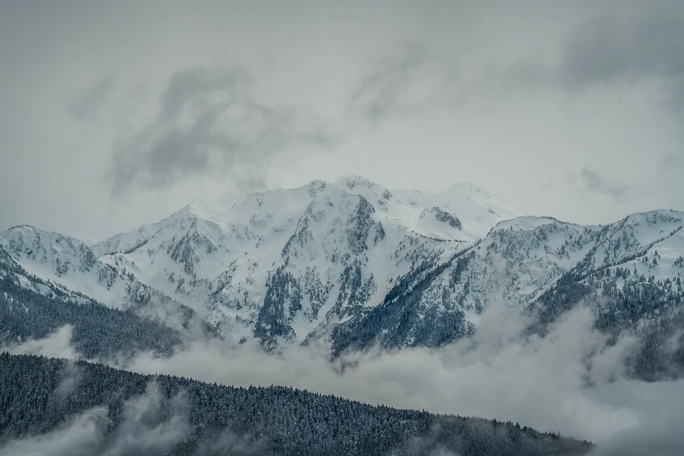
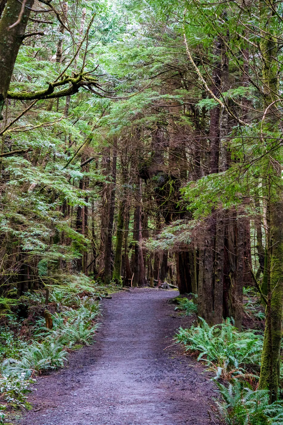
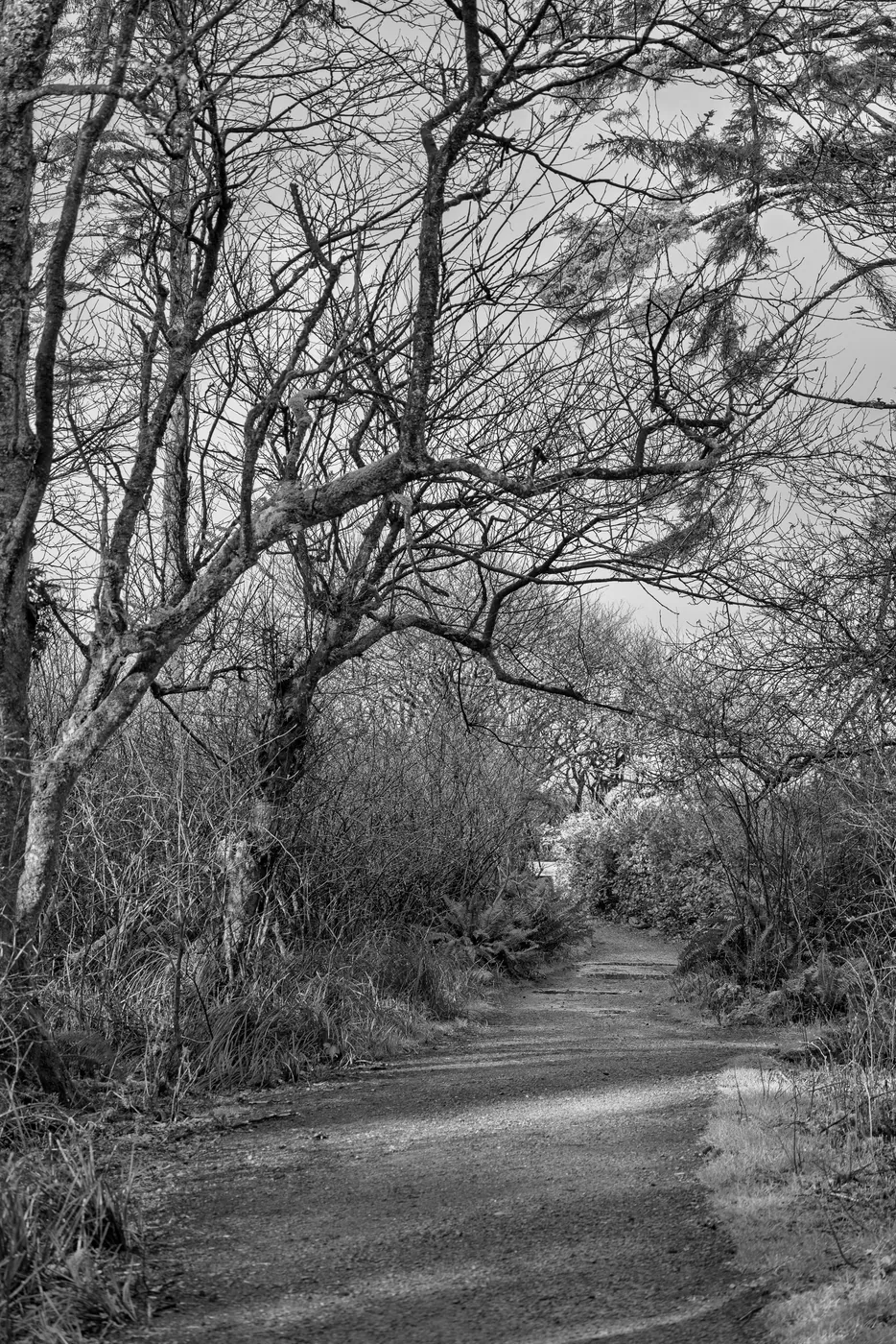
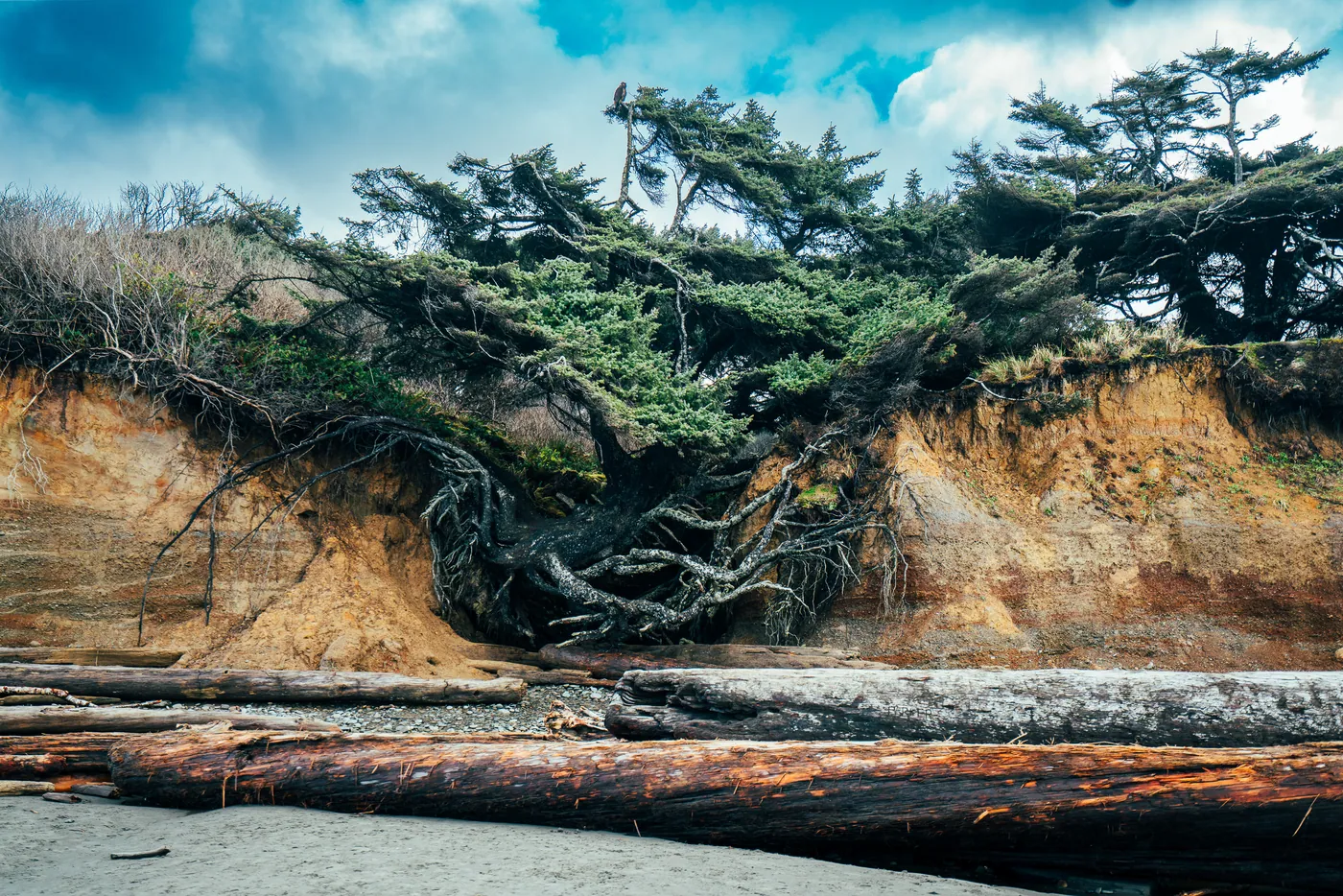
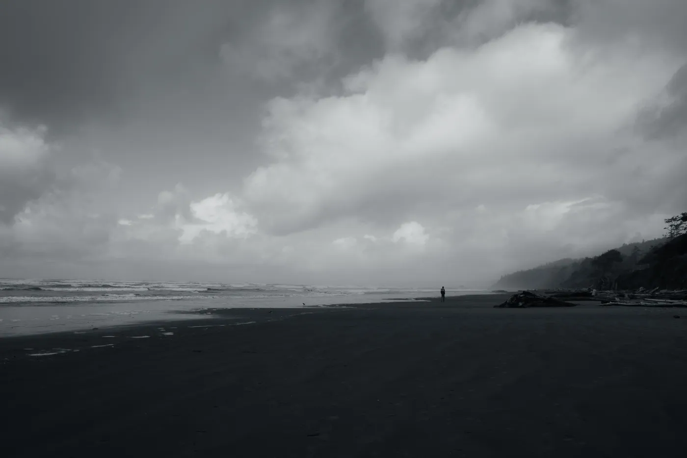
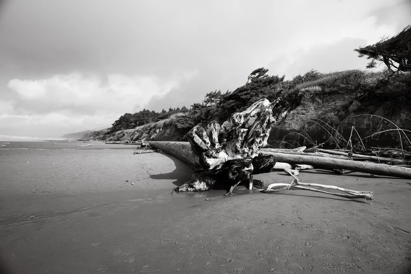
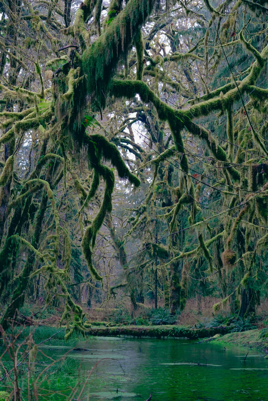
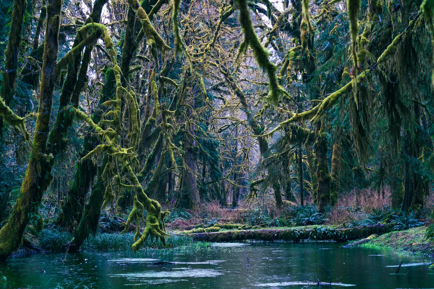
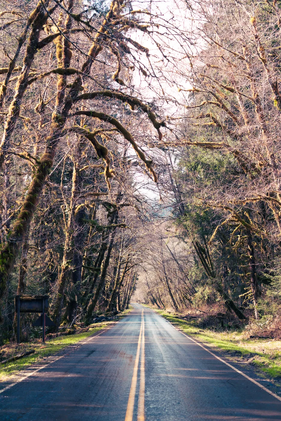
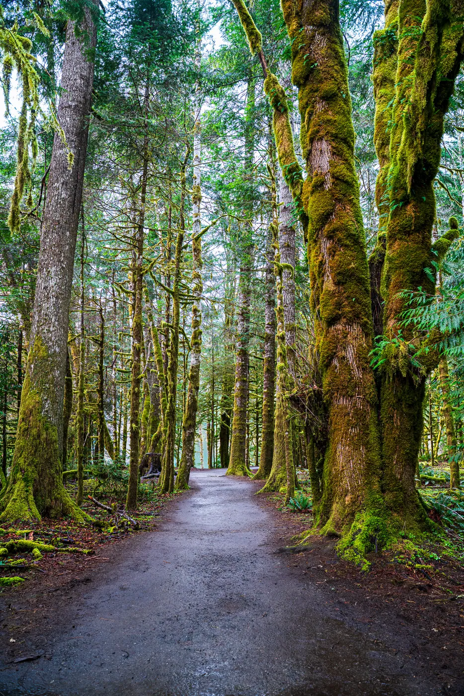
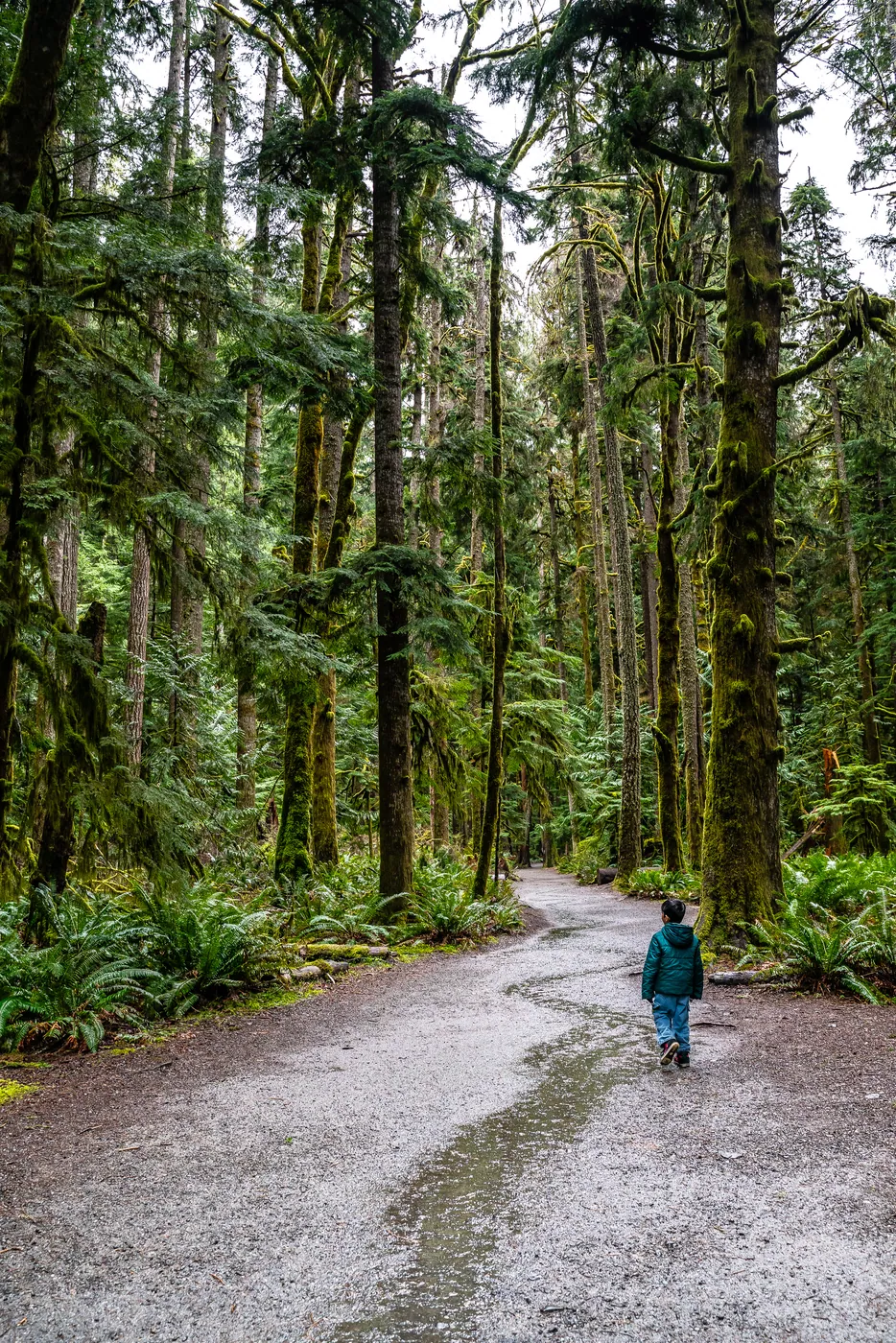
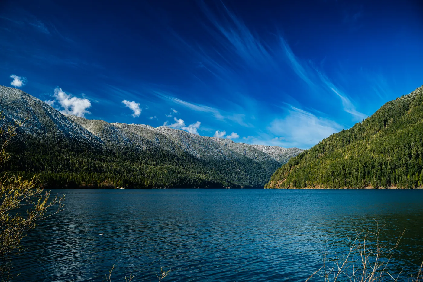
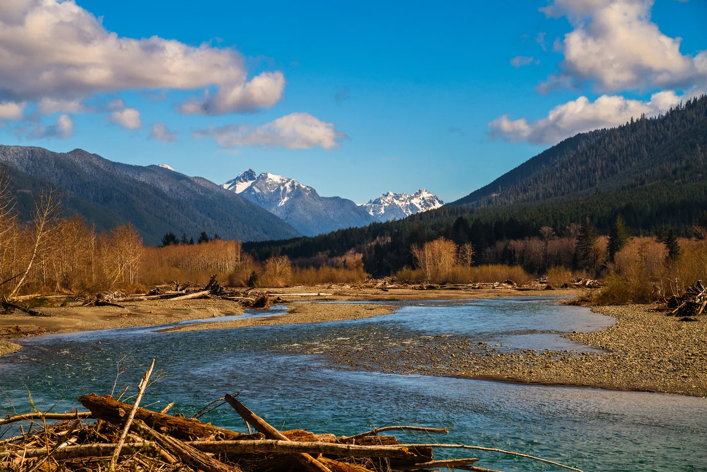
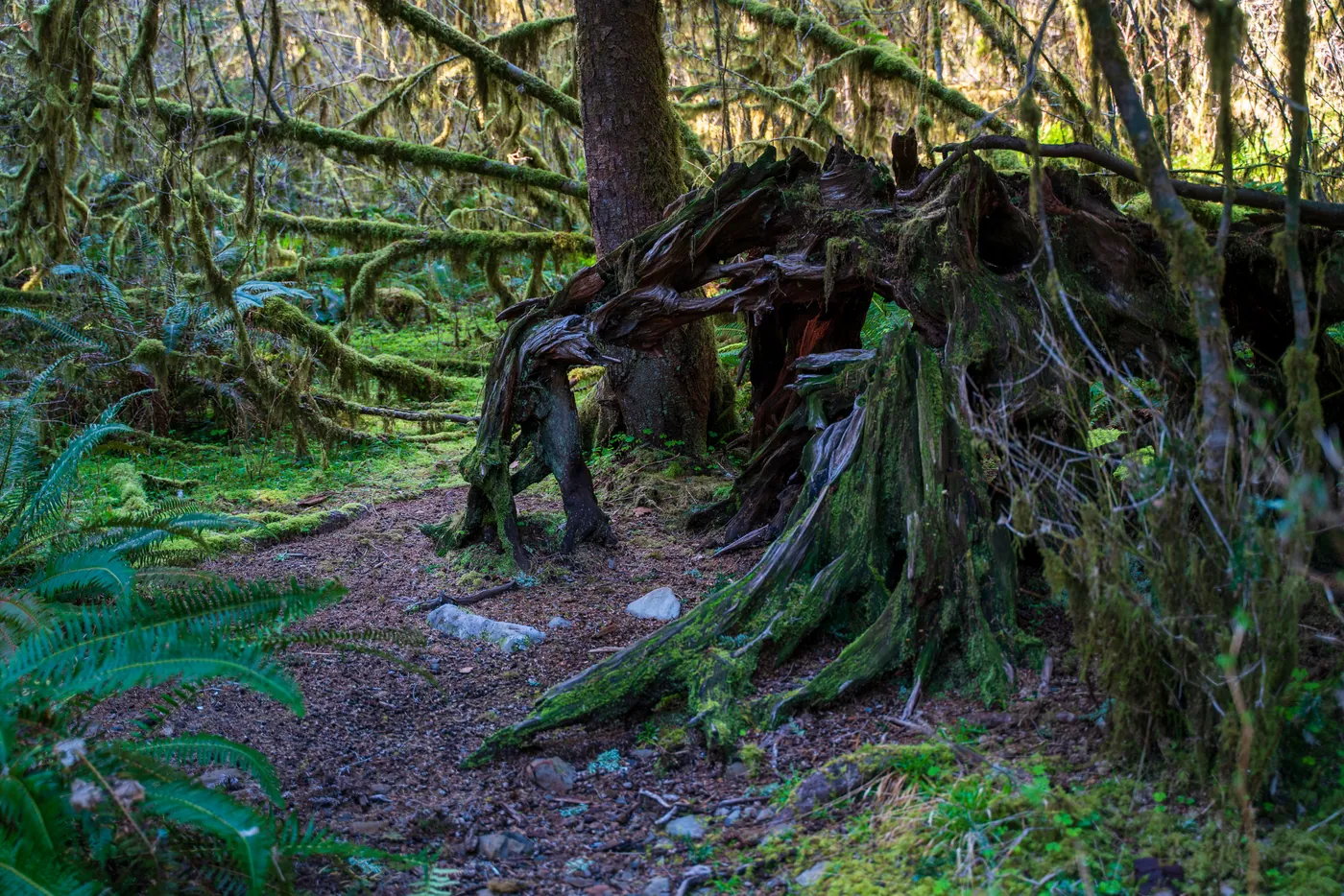
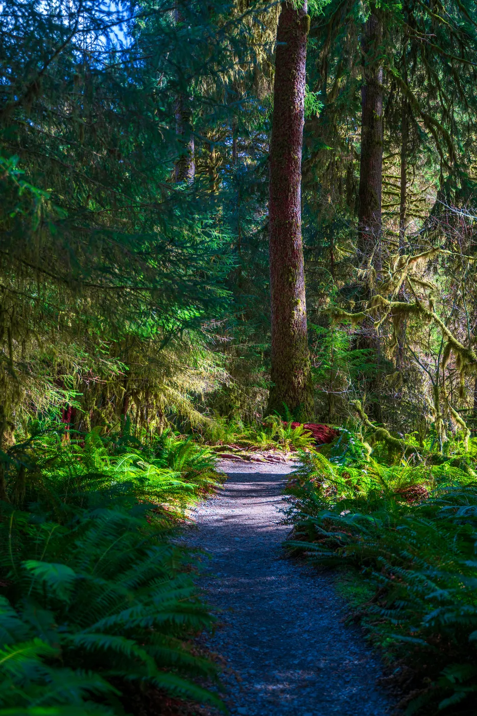
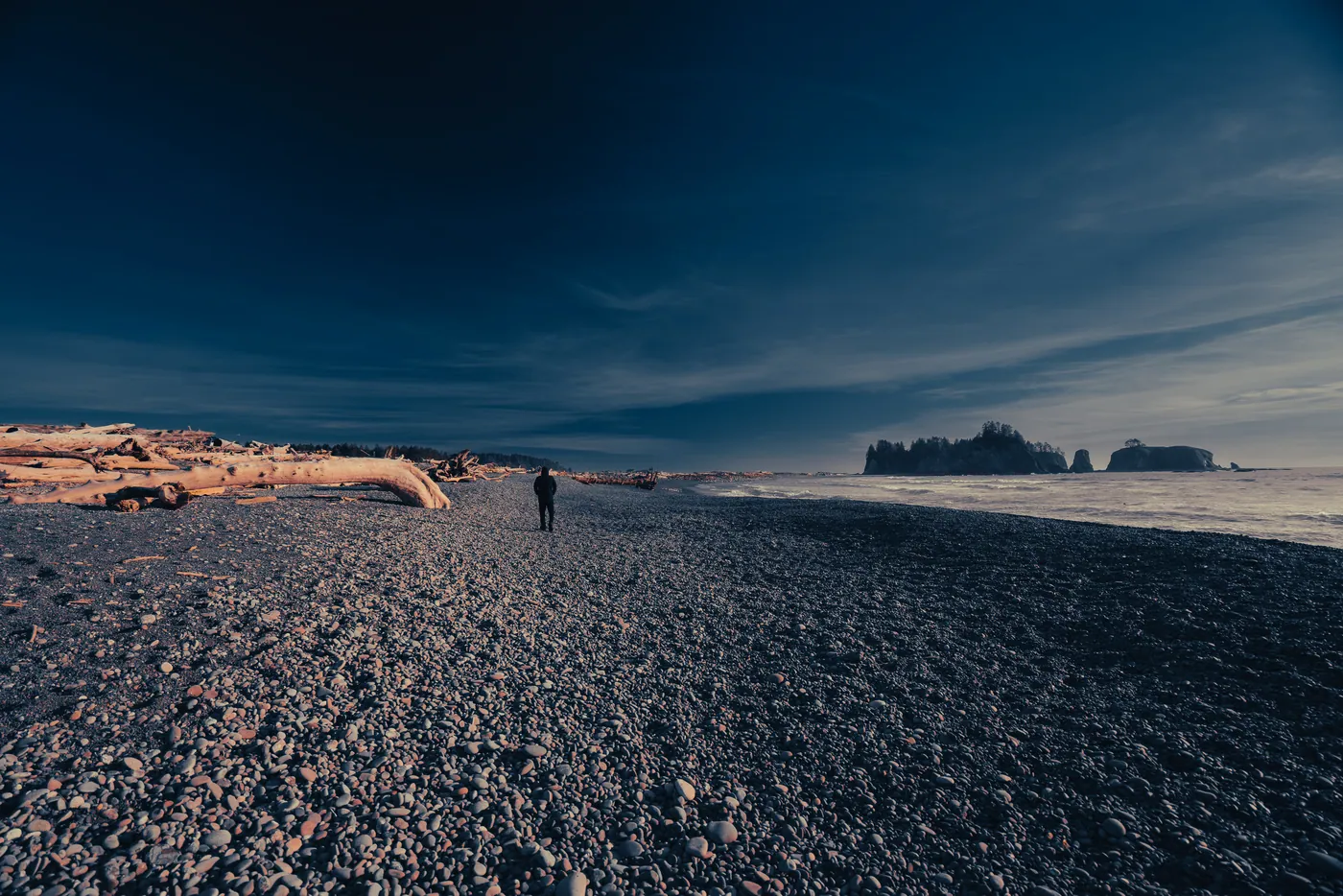
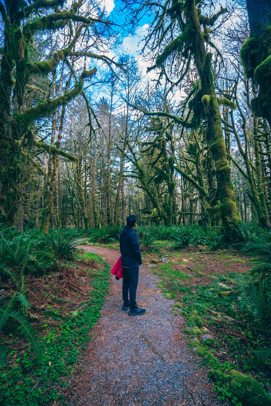
Three separate parks under one name — alpine, rainforest and coast — each with a different best month, which makes a single visit always a compromise.
Best for photography in Jul, Sep.
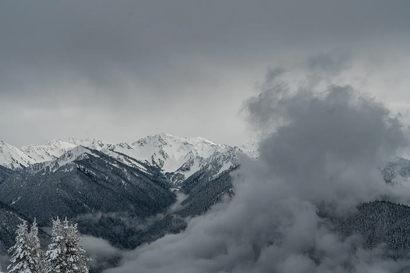
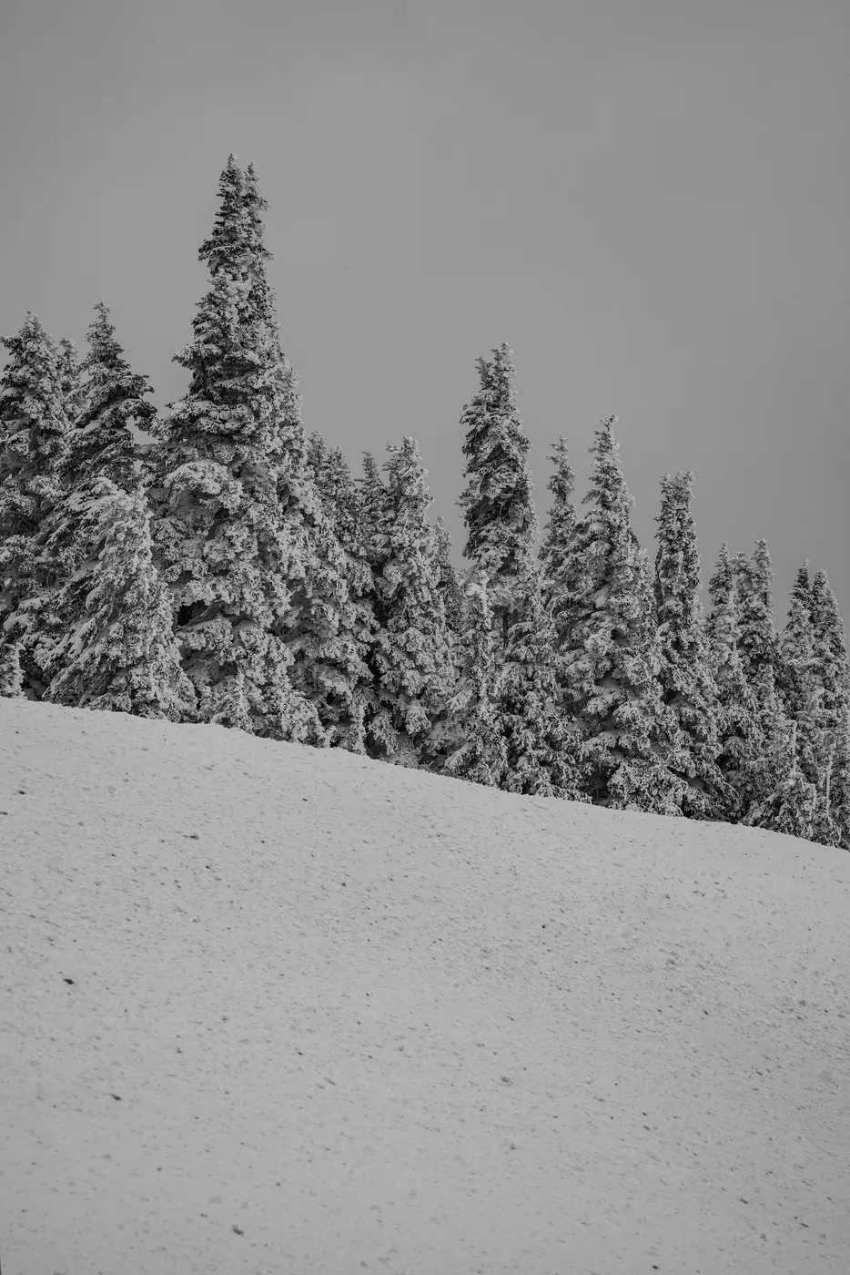
Hurricane Ridge Road is seasonal and weekend-only in winter. The Hoh receives more than twelve feet of rain a year. Coastal hikes need a tide table, not a trail map.
November through March is genuinely wet, with washouts closing the Hoh and Quinault roads without warning.
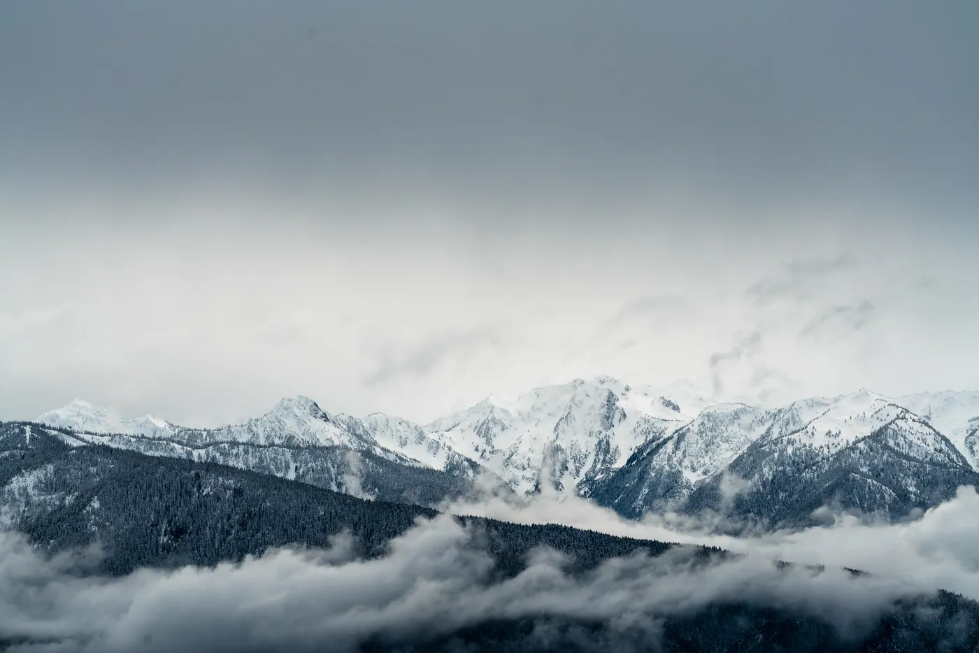
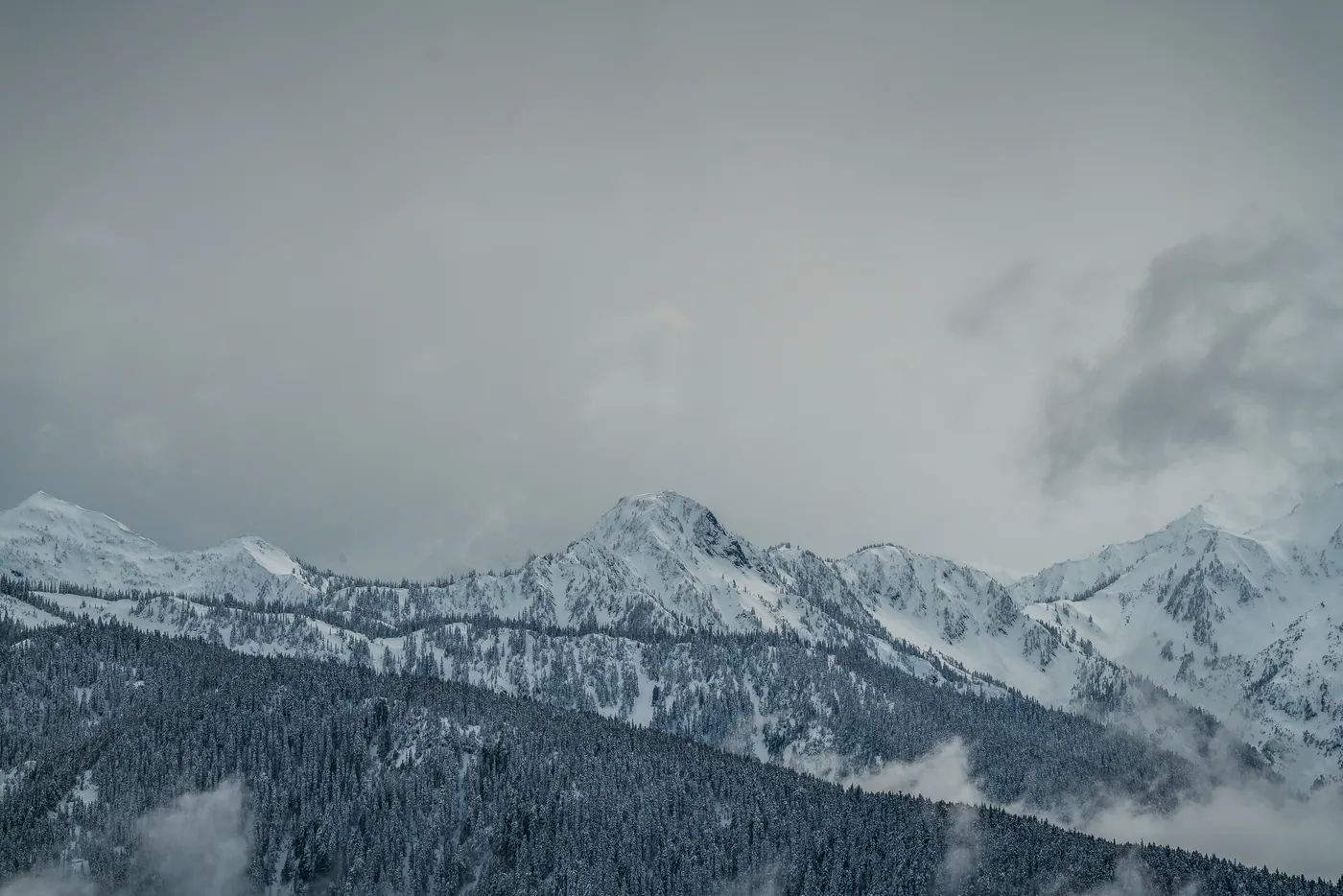
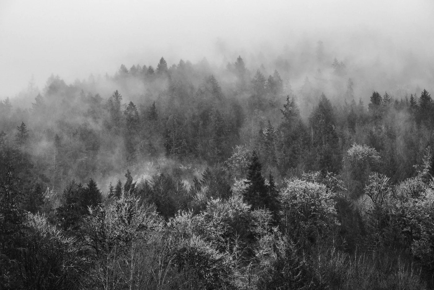
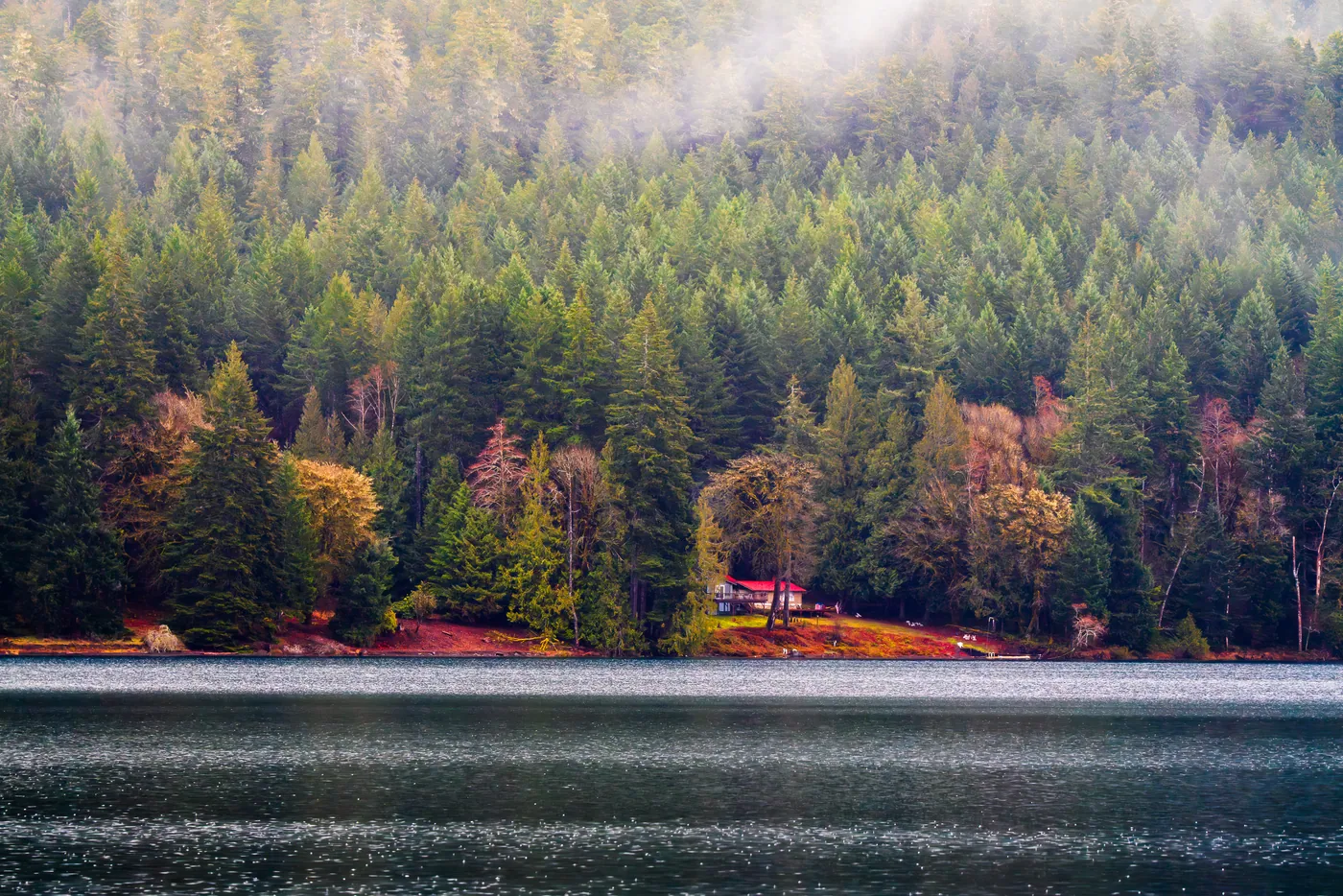
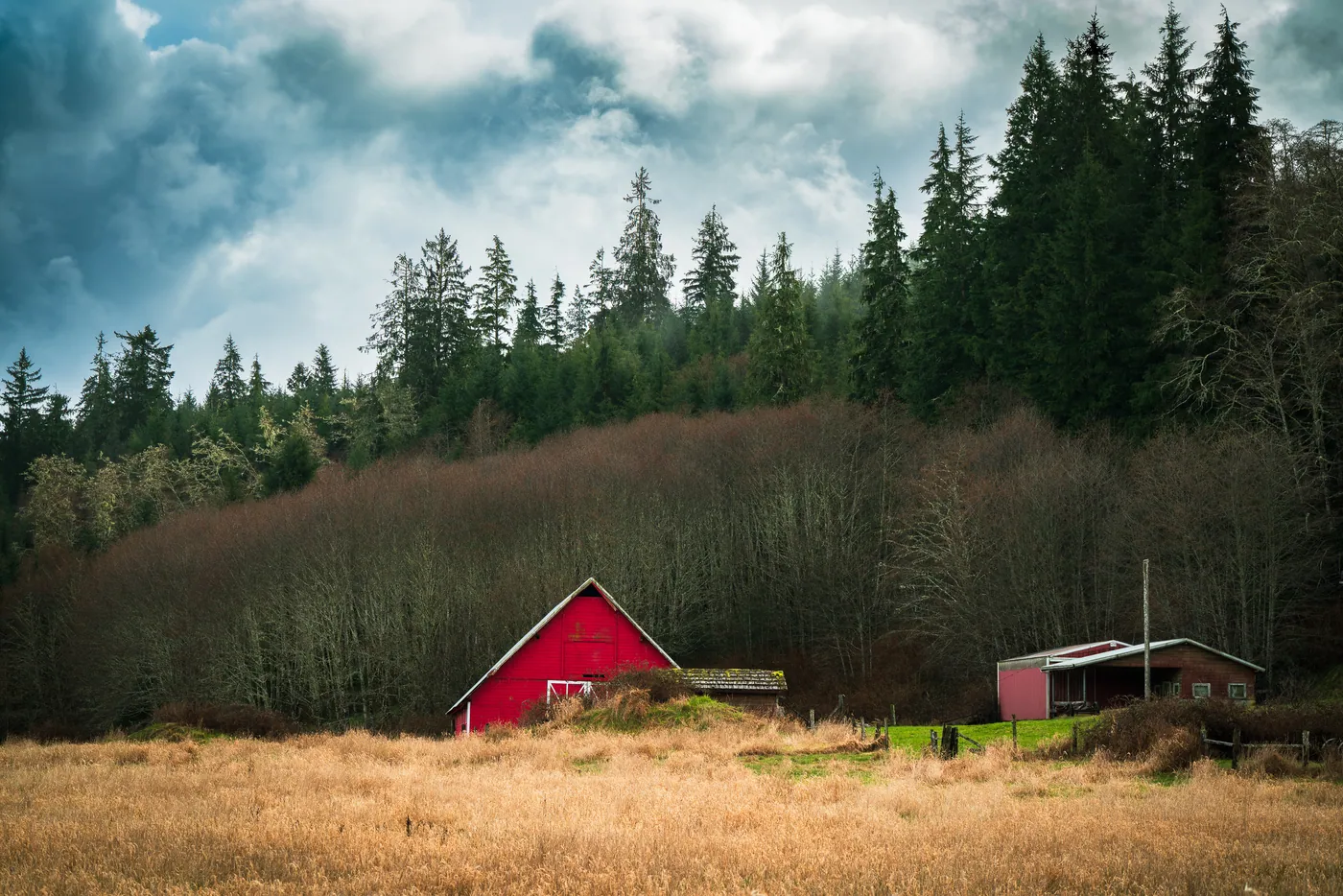
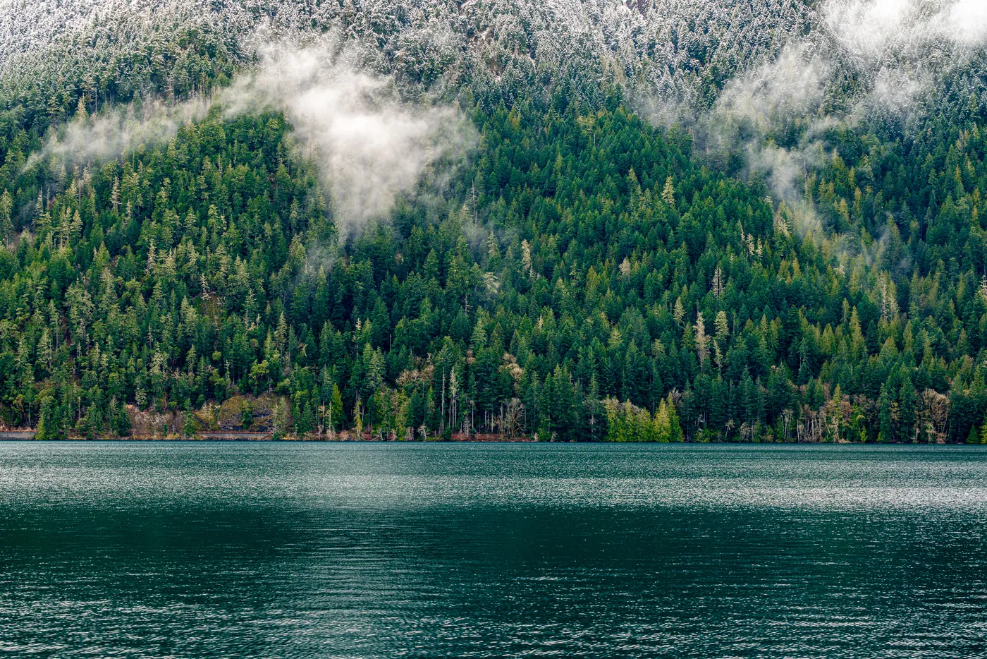
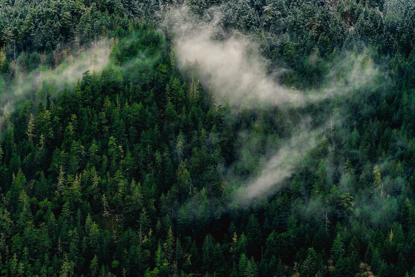
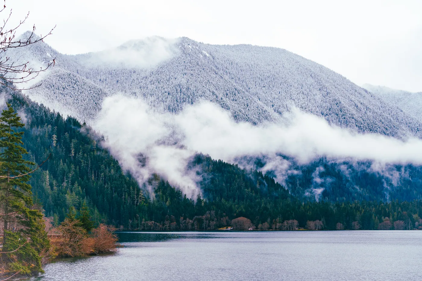
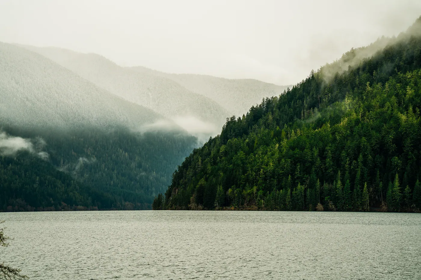
18 of 32 frames on the FE 70–200mm: long glass, compressing the landscape into layers.